|
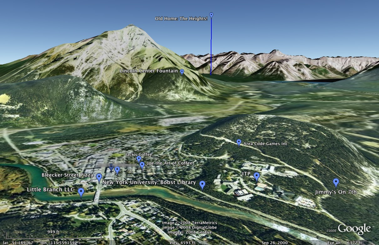
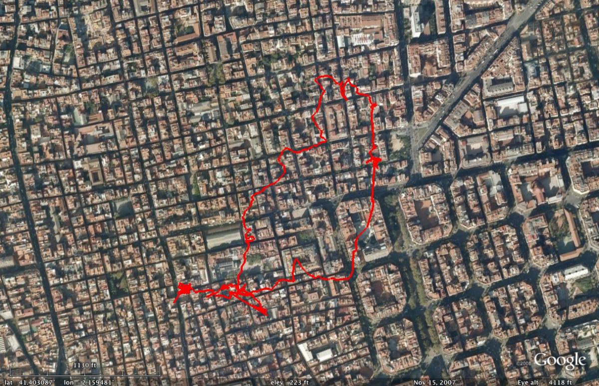
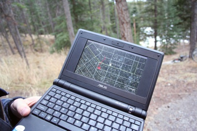
"..valleys inevitably become the domain of highway planners." Modern transportation allows us to cross vast distances very quickly, even within cities. Your 20 minute commute on the subway may actually be a subterranean trek through an interesting arrangement of hills. But in the city it can be hard to get a sense of this, especially when in the subway. I wanted a way to expose the geography and the scale of the city. During a locative media residency at the Banff Centre, I tried an idea: put a cityscape on top of the mountain terrain of Banff. Where would the interesting parts of the city land? Participants would use Google Maps to create a map of the city the were from, adding favorite spots such as restaurants and parks. I would then place that map on top of Banff using Google Earth. We would take a walk in Banff and bring Google Earth with us on the walk. As we walked, we could see where we would be if we were walking in the other place. Because of the vistas afforded by Banff, it was easier to grasp the scale of their city. At that point the project took a detour. Rather than focusing on scale, the participants began to tell me about the place the were from. Although we were in Banff, I was invited into intimate stories of Barcelona, Berlin, Shanghai, and the Gowanus Canal in Brooklyn. Though ironic to hear about other places while surrounded by the immediacy of Banff, these stories are cherished experiences with people who I would only be with for a short time. Make your own comparisonThis tool will let you compare the size of two places. It is loaded in an iframe, you can access it directly at: http://scaletool.robertjd.com |
NYC overlaid on Banff
A walk in Banff, overlaid on Barcelona
The computer that showed the transpositions while walking |